Road Up & Trail Down Tākaka Hill | Time Out 2021-22 Golden Bay
A slow ride up, and near eventful descent

The forecast warned of storms on the way later in the week and woke to the first sign of them. It was only overcast skies; the heavy rain is due Thursday when I'm 'supposed' to be leaving.
When it rains here, it rains a lot with ~1.4m+ annual precipitation. Back in February 2018 Cyclone Gita dumped ~200mm rainfall in 18 hours, flooding the valleys and destroying SH60 on Tākaka Hill: the road I was about to ride:
"About 6000 Golden Bay residents and tourists are isolated as ex-cyclone Gita turned the Takaka Hill road into "a river""Gita: Massive task ahead to re-open slip-damaged Takaka Hill highway | Stuff Feb 21 2018
"There are 16 slips between Riwaka Valley and the Summit of Takaka Hill with two sections of road completely washed away"
It was days before it re-opened, then only one lane for limited escorted convoys, and the region was isolated, impacted, for a long time. The final repairs, massive reconstruction apparent when you drive the road, took nearly four years to complete.
I've cycled Tākaka Hill twice before but not 'properly', never on the Golden Bay side. On a supported cycle tour in 2011 we flew into Golden Bay, from Karamea, and met our bikes there. Unfortunately, time didn't allow us to ride up, but we did the descent from the summit to Motueka. The next day some of us cycled up from Motueka, but then turned around returned. Today would remedy that.
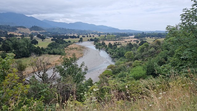
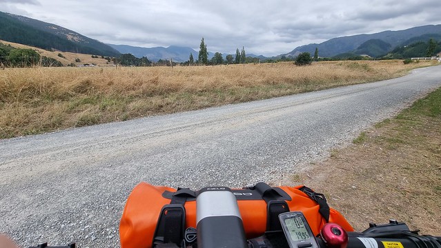
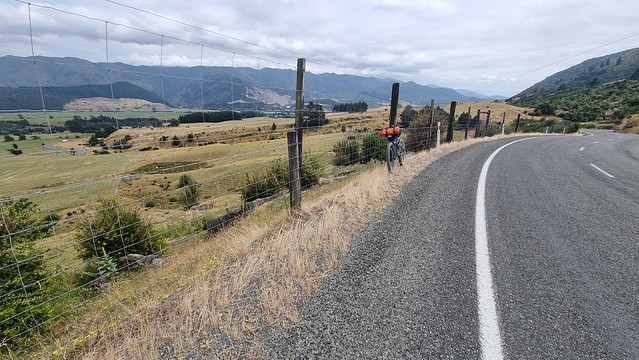
I cycled along East Tākaka Road, which runs parallel to the main highway but on the other side of Tākaka River. Although overcast it was still warm and humid with little wind.
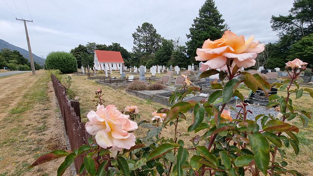
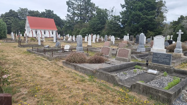
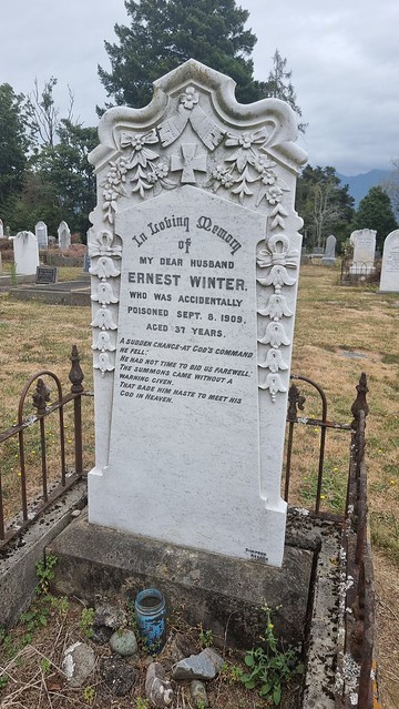
Stopped to look around East Tākaka Cemetery, lots of history here.
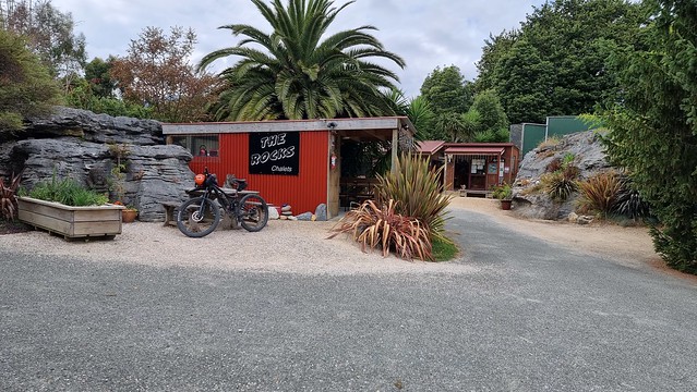
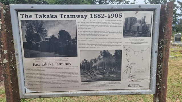
The tramway is long gone, but the bike path from town towards 'The Rocks" uses the embankment it ran along.
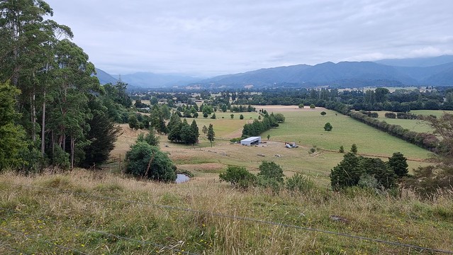
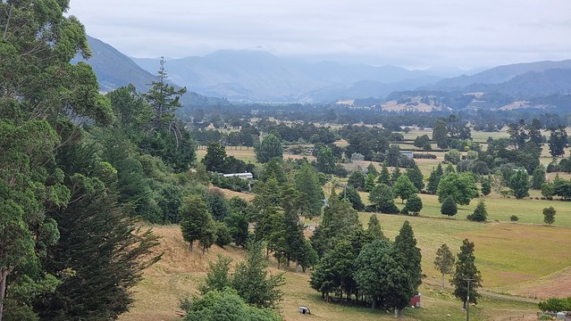
Pretty valley views and a quiet road. Only saw a couple of vehicles the whole way.
Rang my mechanic in Auckland, nothing wrong with the car but wanted to see if he was on holiday down here. He was arriving after I left but was able to check out his holiday, future retirement, spot in Tasman Bay.
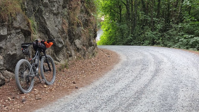
Up Tākaka Hill
And so it begins...
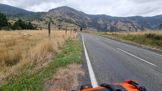
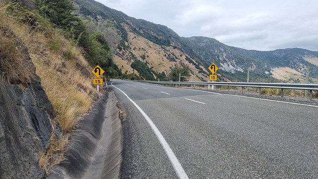
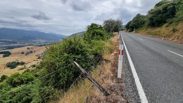
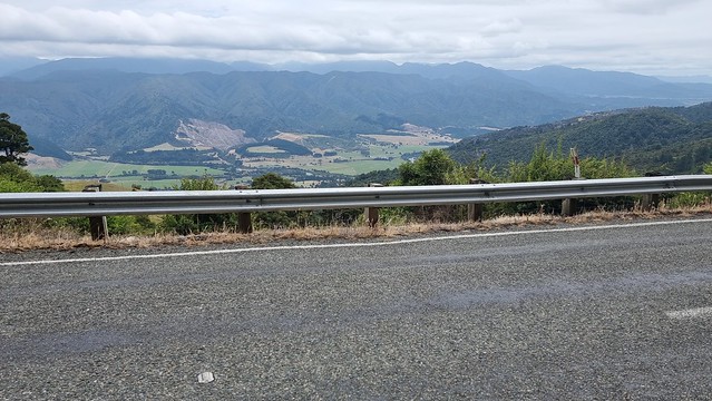
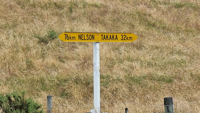
From here Tākaka Hill Road zig zags up ~700m over ~10km.
The gradient is fairly constant at ~6-8%.
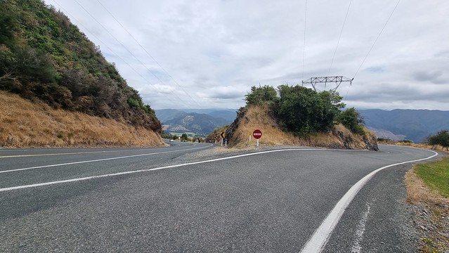
Even the low recommended speed for this hairpin was a bit beyond me. Watched a long wheelbase campervan challenged by the tightness, gradient, and camber of this curve, thus the skid marks!
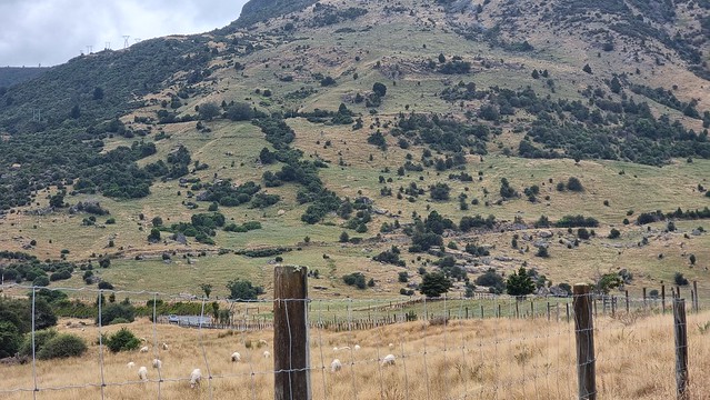
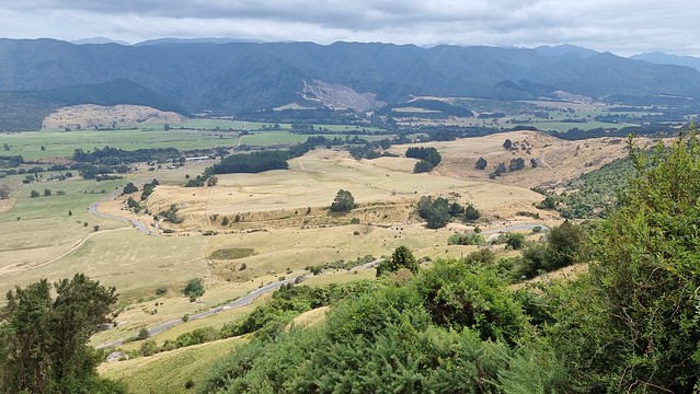
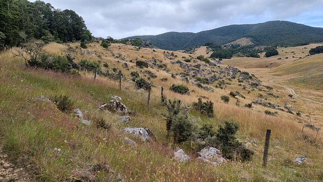
Wonderful views to distract.
I hate to think what the outcome of this flattened section of fence was...
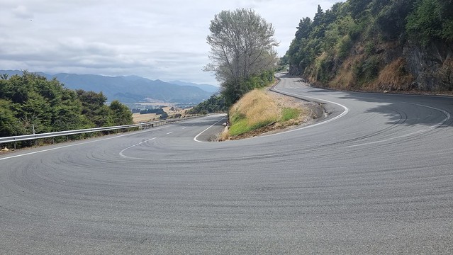
Now a passing bay for slow vehicles, suspect the road once took the outside line before the reconstruction.
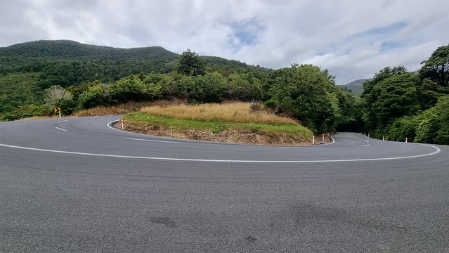
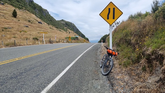
Just when you thought you were getting somewhere, don't look up!
Started way down there!
Wasn't rushing, the tarmac climb took about two hours forty minutes.
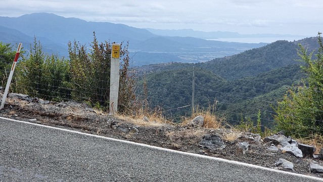
The top, I thought, and it would have been if was going back down the road but had another plan. The road summit was 808m elevation but had climbed the first hundred metres riding along the valley before the hill itself.
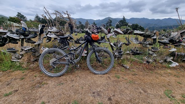
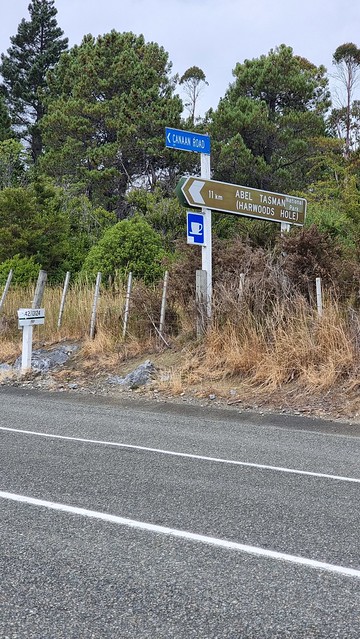
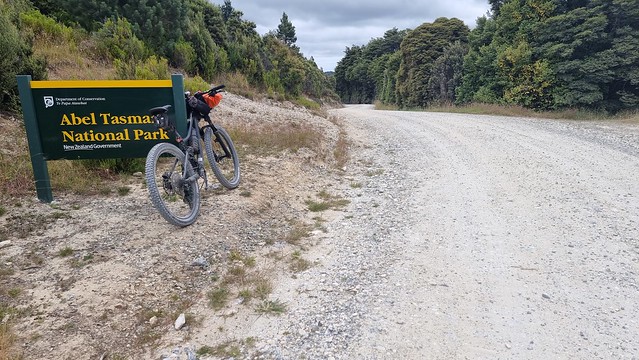
There's a short descent -150m to the turnoff for Canaan Road. It goes into the Abel Tasman National Park at Canaan Downs Scenic Reserve. It's been in some hobbit films, apparently, but is also famous for Harwoods Hole.
Harwoods Hole track leads to the deepest vertical shaft in New Zealand (176 metres). A water-enlarged (but now dry) sinkhole, it drops to an underground river that emerges below and flows into Gorge Creek, then into the Tākaka River.
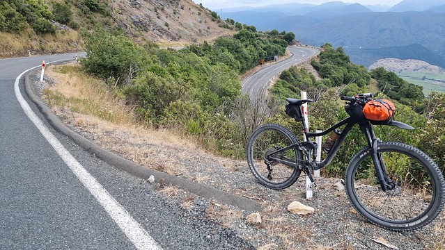
I wouldn't be going there (you need to be an experienced caver and even then...) but another track leads back down to Tākaka. But first had to ascend another 200m hill!
Finally going down again!
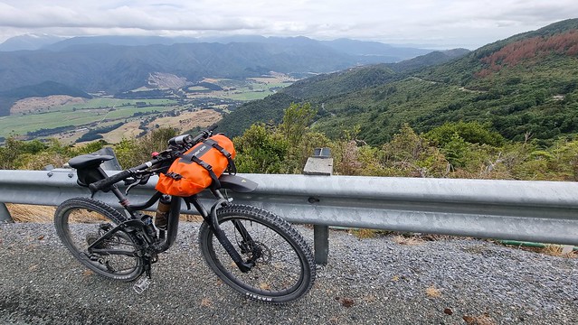
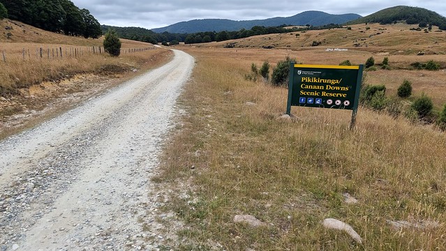
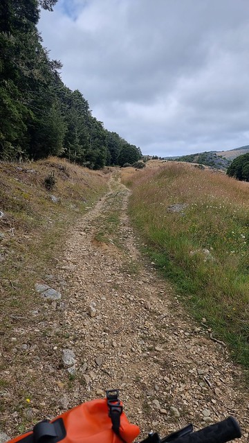
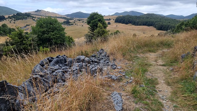
Canaan Downs Scenic Reserve lives up to its 'scenic' billing.
There's a DOC camping area and toilets, tables by the trail head. Scoffed down some food but didn't stop for long due to savage sandflies, and no repellent!
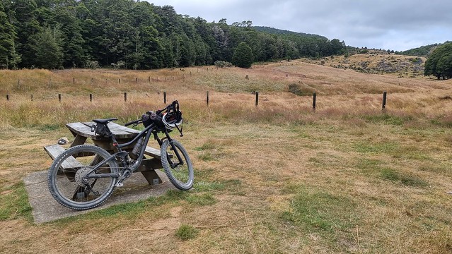
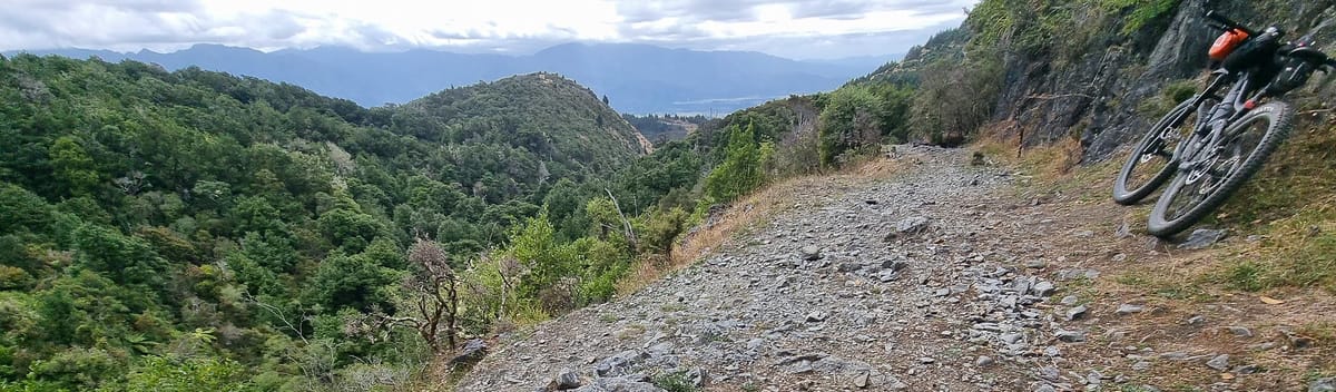
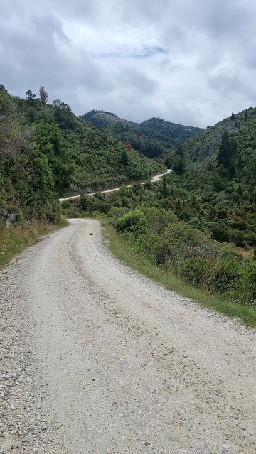
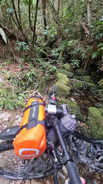
Start of the Rameka Track. It's a classic downhill single-track, originally built in the 1850s as part of a stock route between Nelson and Golden Bay.
Can see how this place ends up in movies...
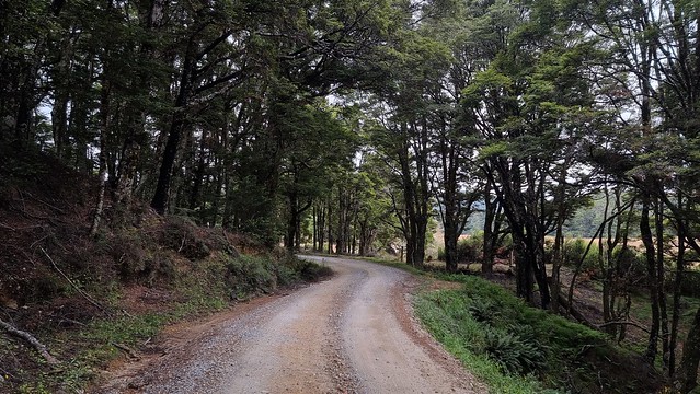
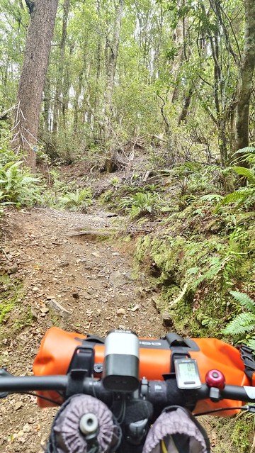
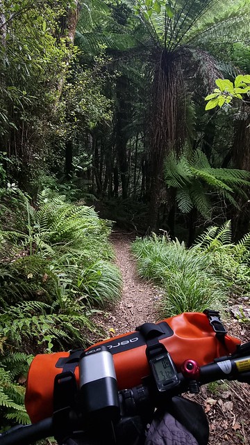
Rameka Track heads into the bush.
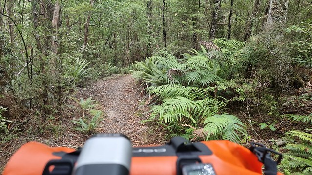
The first part was rocky and rooty, found parts of it quite challenging and slow going. Never saw another sole on this ride, reassuring to have a locator beacon as no phone coverage...
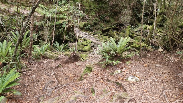
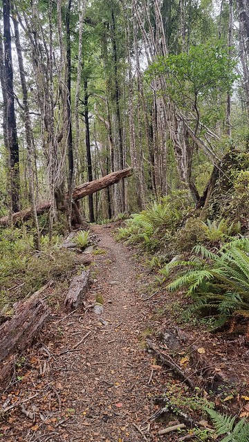
Quite a few fallen trees, but obviously maintained as none blocking the trail.
It was just strong enough to hold me up, bouncing as it swayed, regather composure and carry-on riding as if all planned!
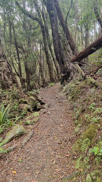
The bush opens out to give some awesome single-track downhill. Although only four in the afternoon gives a better idea how dark it was in the bush than other photos. I had a light but wouldn't want to be on this trail after sunset!
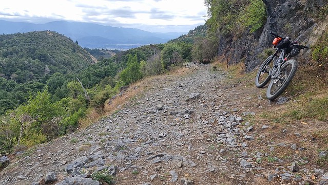
Once out of the bush it opens out to a fantastic descent back to Tākaka. Last photo as had forgotten to switch my phone to aeroplane mode. It had been struggling to get weak signals all day and cried enough here.
The S21 Ultra has a multi-day battery normally but aeroplane mode makes for a quiet ride and much better battery life. It kills phone/data but allows the GPS location to keep tracking.
It was an awesome ride. So good I can finally say, without qualifying, I've cycled Tākaka Hill!
When I got back to the motel, cleaned up and watched the TV evening news. The forecast for tomorrow was grim, not the bad storm yet, but would be unpleasant riding. Decided to clean and pack the bikes; they would be in the car for several days so not great to load them in the wet.
As the phone died my Relive track today is from the Samsung Watch. Found it good to run Relive on the phone and the Samsung Health app on my watch tracking rides. Samsung Health syncs to Strava, but either app can export a file to import if a track fails. Had that occasionally, either poor reception or operator error hitting buttons.