Robin Hood Bay Gravel Loop | Last South Island Ride | Time Out 2021-22 Picton
A bay with my name, and an epic gravel ride

What a day for my last ride in the South Island (on this trip)! It was cool setting out, just 12°C, but soon warmed to 20°C as the sun kicked in.
Around the bays...
There are some neat mountain bike trails around Picton but was looking for something a bit more memorable for my last South Island ride. When I saw my (first) name on the map, on a coast road out from Blenheim, the route was decided.

My Strava missed about 18km from the end, was a long day and didn't notice my Gear Watch had gone flat. All up the ride was 103km (according to the bike wheel odometer) with ~1,900m climbing.
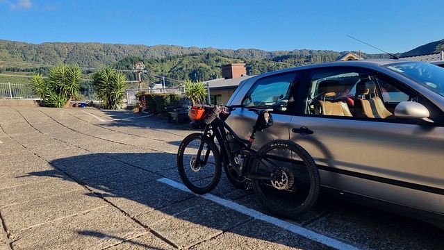
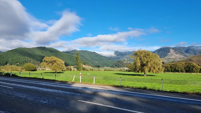
I left Picton via the waterfront, in part for the view but also to see the state of Ferry traffic. The road between Picton & Blenheim becomes a bit of a racetrack after ferry arrivals as the traffic heads South. No problems this morning.
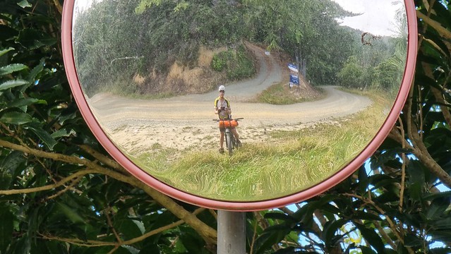
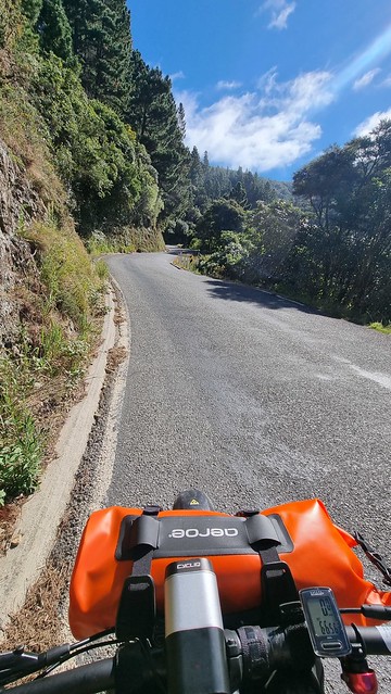
After a sharp climb out of Picton the road to Blenheim is flat to downhill. Apart from stopping for this snap it was just a head down blast to make the most of the traffic free road.
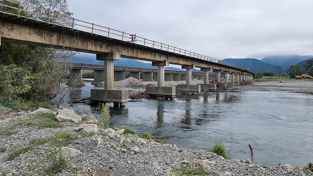
The Wairau River road bridge (in the background behind the rail bridge below) is horrible to cycle. Two narrow lanes with no verge at all. Was glad the only traffic I encountered crossing it was heading the other way.

Spring Creek fuel stop
There appeared to be no shops on the coast road so stopped at Spring Creek to get 'lunch' to take with me. The Takeaway/Dairy was closed but found a good café/bakery section inside the Four Square (small supermarket). I'd had breakfast and was carrying some fruit but had a coffee and muffin there, and got a filled roll & chocolate chip cookie to take with me.
Blenheim, wine and clouds?
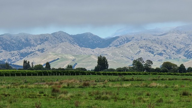
Cloudy Bay lived up to its name with a thin layer of overcast only broken by the distant Wither Hills, near Blenheim.
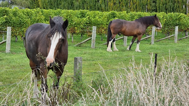
These horses seemed very content with their vineyard home.
Strange mix of old farm buildings in Cloudy Bay.
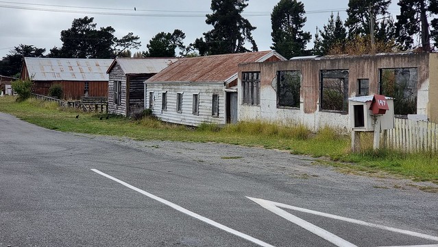
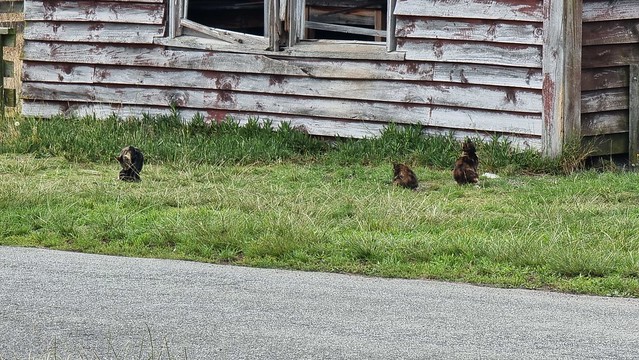
Some of the (appeared many) cats living there...
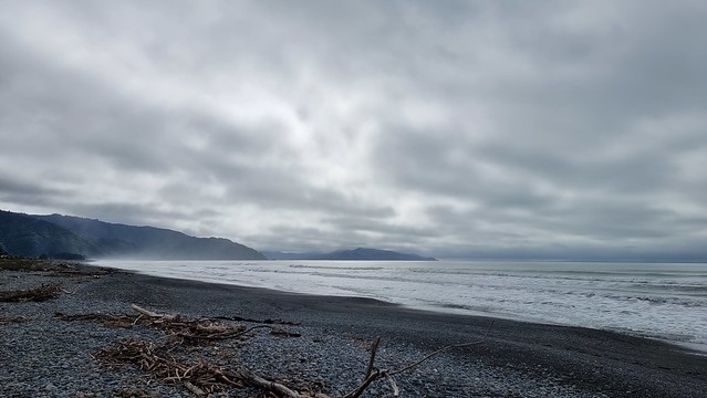
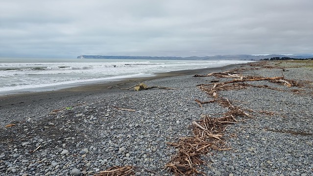
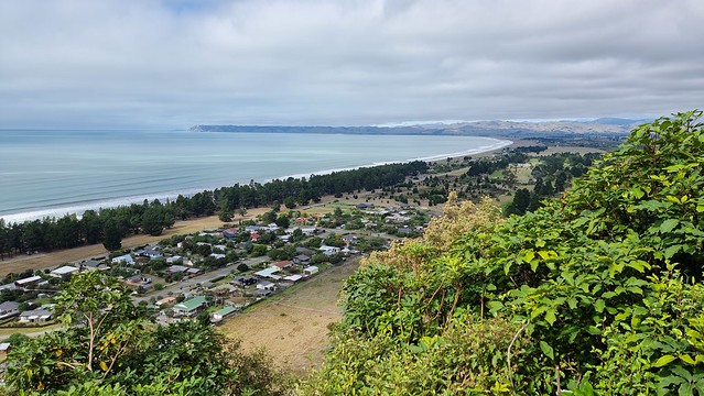
Cloudy Bay Ocean Beach, amazing how NZ weather can vary. Just an hour, and 12km, from sunny Picton.
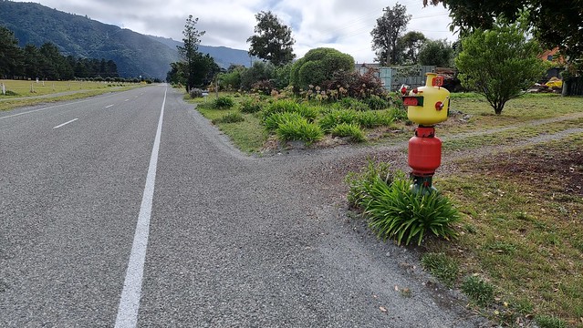
Love this mailbox, made from gas cylinders with a LEGO Minifig look.
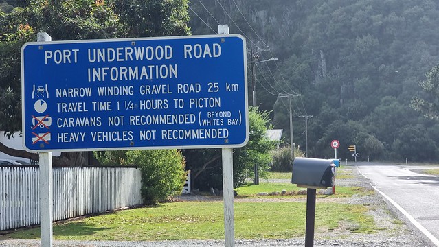
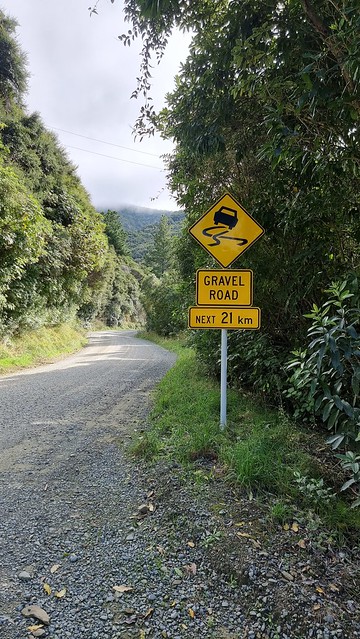
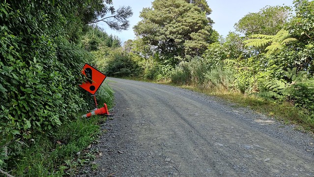
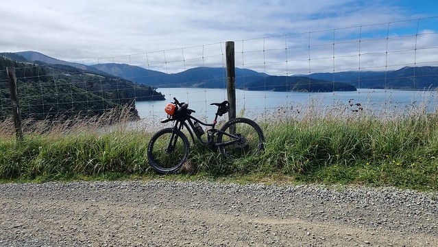
Port Underwood Road: Not recommended = recommended!
What a superb sign, for gravel cyclists. Yay for gravel and lots of vehicles not recommended!
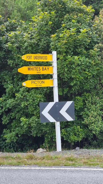
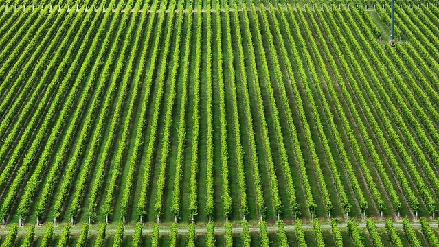
It is 29km to here from Picton on the main highway, 42km back via the coast road. Endless Cloudy Bay vines, near Blenheim.
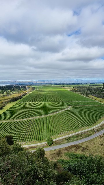
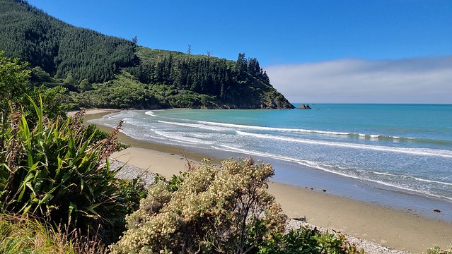
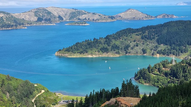
This is one of my 'that will make a great phone/computer desktop background' photos...
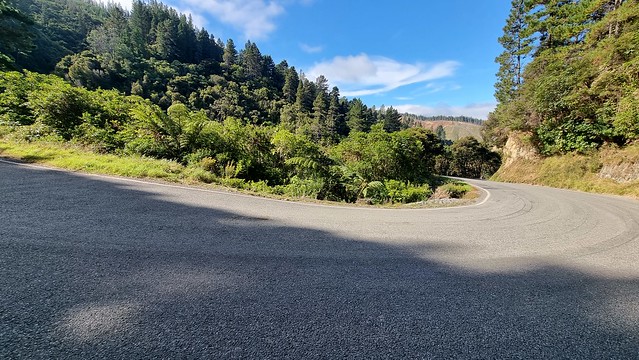
Port Underwood Rd kicks off with one heck of a climb, this is the view after just 1.4km uphill!
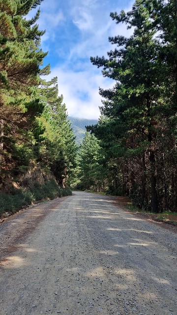
But it, after the 40km mark below, is just a taste of things to come. None of these climbs are particularly high but all average 10%, on gravel, with steeper sections along the way.

Whites Bay
The road is now sealed to Whites Bay, so a few less kilometres of gravel than the previous sign advised. It has a large glade style camping area and good facilities.
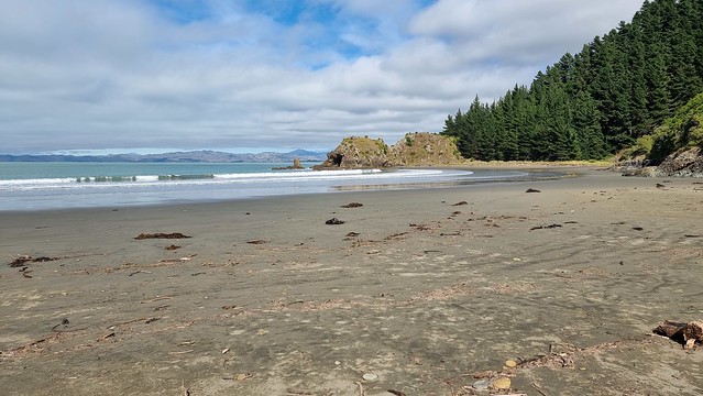
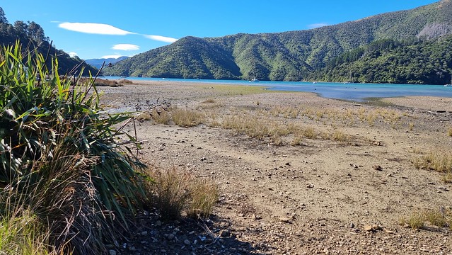
Was nice at low tide, would be even better with more sea!
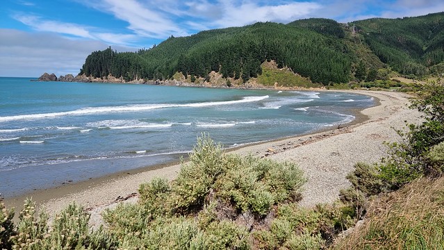
From here ~21km of gravel road climbs bluffs and descends to beautiful bays. The gravel itself was fine but was glad of the mountain bike suspension as the roadbed was really corrugated in places. The bike's fat tyres, suspension and disc brakes got a workout, as did my legs!
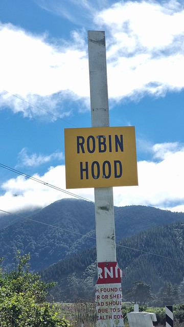
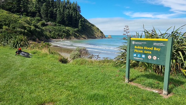
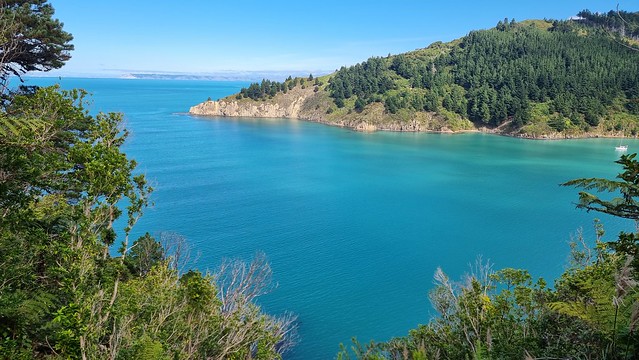
Robin Hood Bay
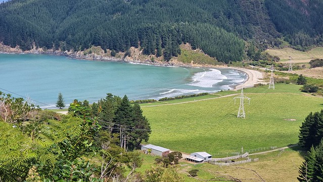
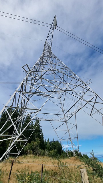
Robin Hood Bay was nice, but a bit spoiled by massive main grid power line pylons just a little inland.
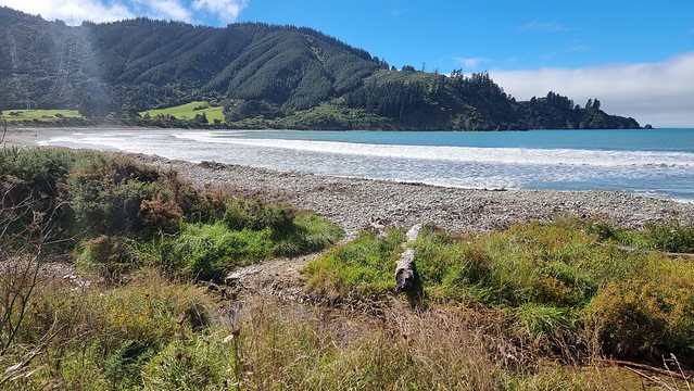
Stopped for lunch here, there's a small (10 site) DOC campsite but only basic facilities.
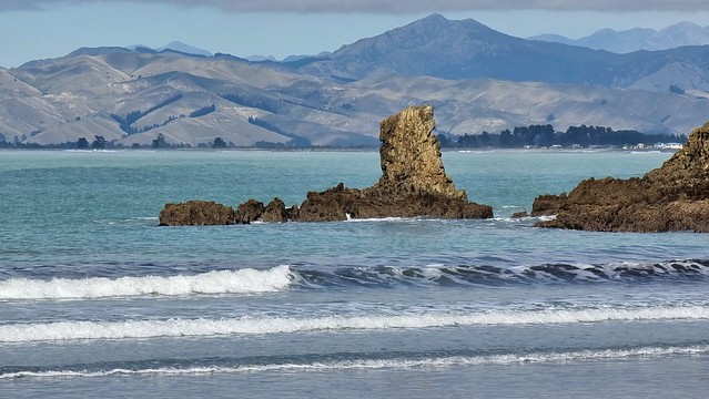
Probably named after a sailing ship, Robin Hood Bay faces onto Cloudy Bay, with the Robertson Range at its back.
At some point the bay had an extensive Māori population, as indicated by the remains of stone and earth walls on the flats, where kūmara (sweet potato) was cultivated. Sheep farms were subsequently established and there is now also plantation forestry on the hillsides above the bay.
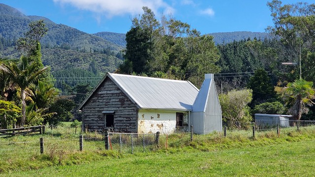
A small cottage in the bay [below] was probably built by a whaler around 1848. Between 1886 and 1918 it was one of a number of buildings which formed part of a small boys’ boarding school; it later had a number of other uses.
Source: Robin Hood Bay – Marlborough places – Te Ara Encyclopedia of New Zealand
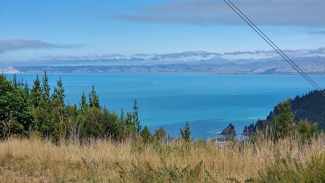
On the grid...
It's hard to avoid the main trunk powerlines which span the bay. Can't really complain as they feed power all the way North to home!
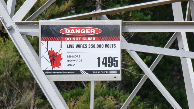
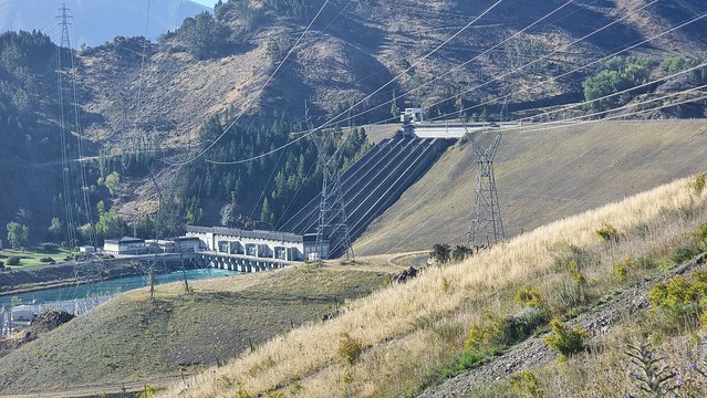
A wise warning (above) and proof I rode past the other end of these lines back in February.
The same grid power lines leaving Benmore Dam, near Otematata from my February Ride
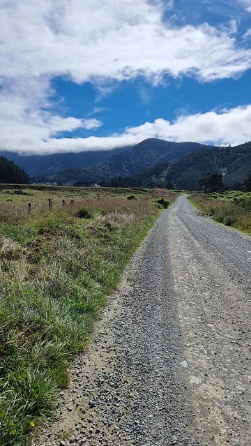
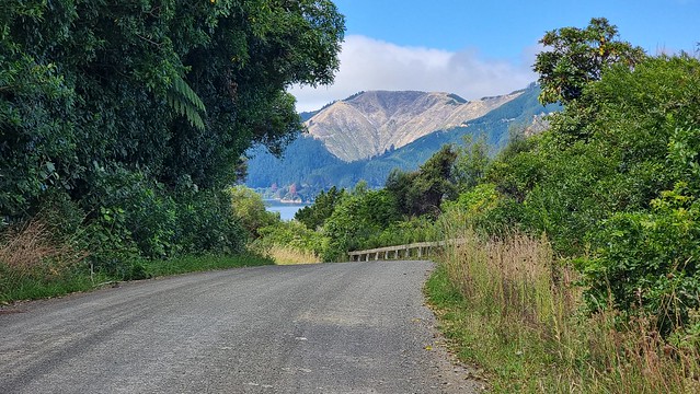
Then it was back into the climb/descend rhythm for several more bays.
Not sure what was especially '!" about this bit of road but I survived it.
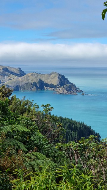
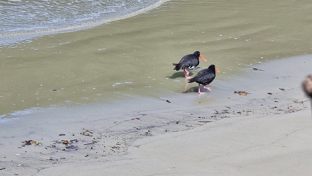
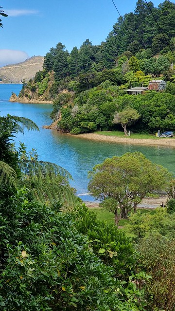
Ocean Bay
The road runs, literally, along Ocean Bay.
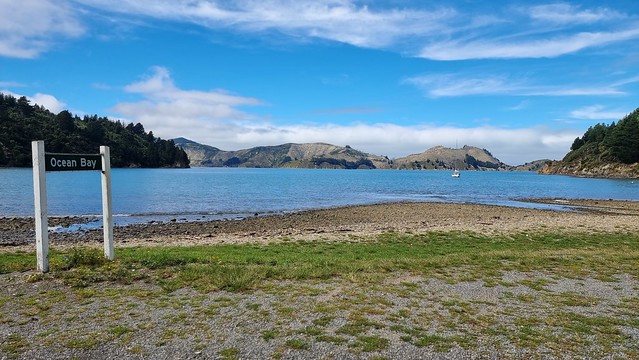
Residents unfazed by the cyclist passing by.
Another climb...
Bays and selfies...
The driveway behind led to a property that was for sale. Looked nice (from the on-line listing) but quite a commute to anywhere. I wonder what the Internet is like for remote work...
Everchanging spectacular views.
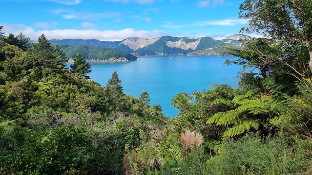
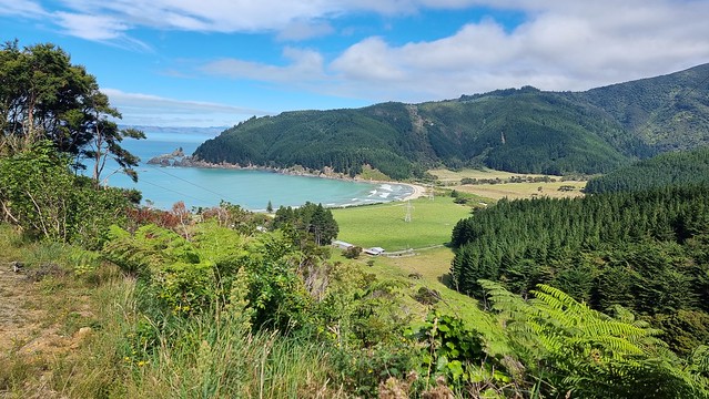
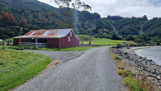
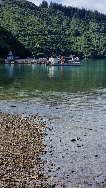
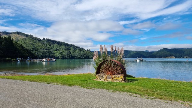
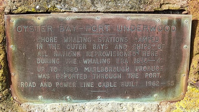
Te Tio/Oyster Bay, Port Underwood
Te Tio/Oyster Bay, Port Underwood was once a whaling base and still home to aquaculture, farmed mussels, and fishing industry.
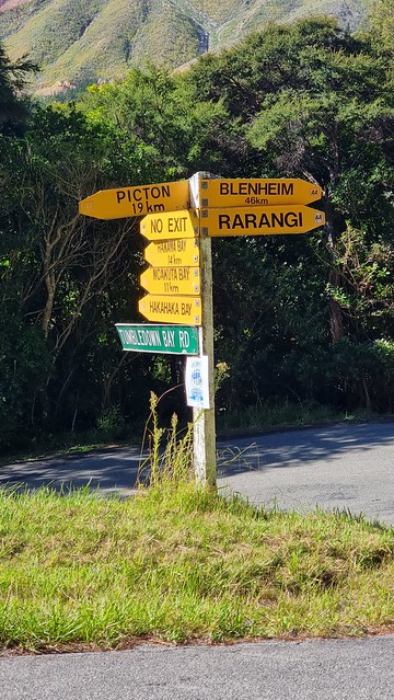
Picton 19km and the last big Port Underwood Rd climb is the highest (~400m) and steepest with about 5km of 8-14% gradients.
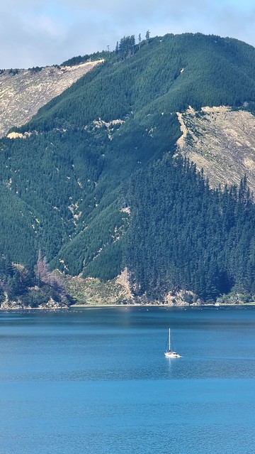
Took this when I pulled over as heard a truck grinding up the hill. Thought it might be timber but was a load of fresh mussels headed for the markets.
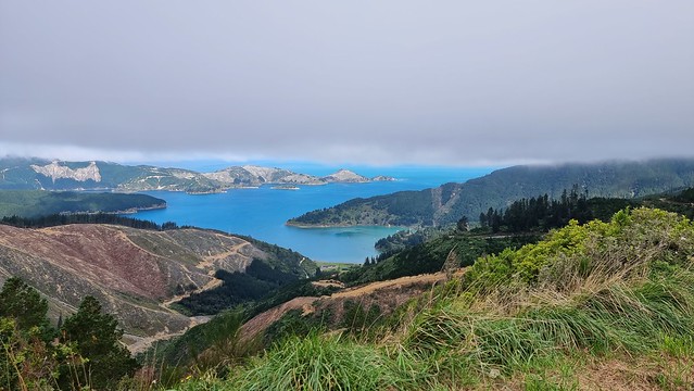
Took this photo at 15:30...
Fifteen minutes later I was riding into cloud.
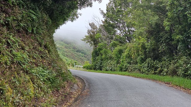
Around a corner revealed this bizarre cloud layer which had appeared from nowhere.
Whatamango Bay cloud
There's a fantastic 4km descent to Whatamango Bay, fast enough that I out-ran the cloud rolling in!
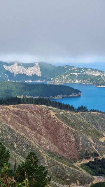
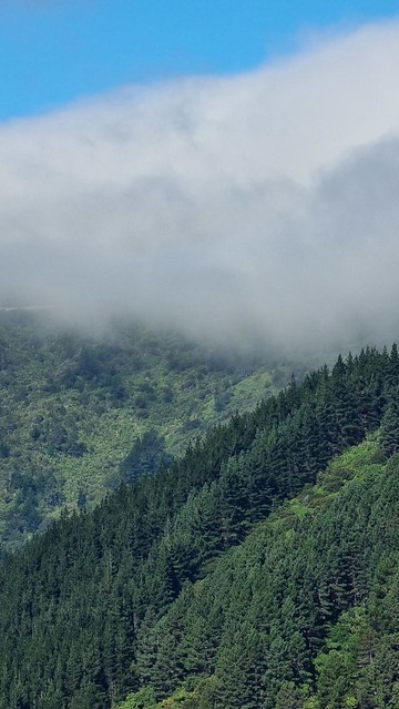
It turned out the cloud just lingered on the ridge and the rest of the ride was in bright sunlight.
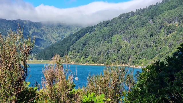
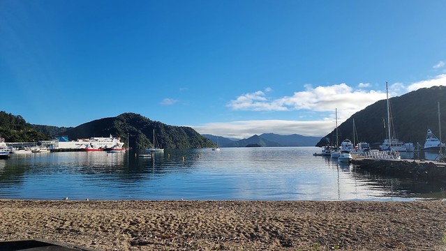
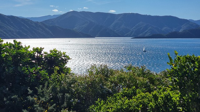
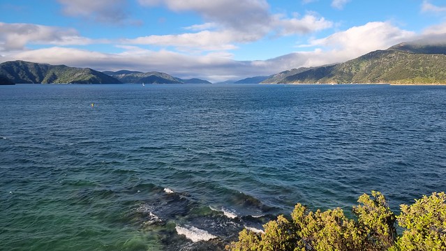
Queen Charlotte Sound
The road back to Picton runs alongside the Sound.
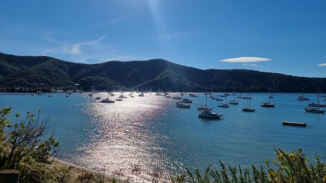
Stopped Waikawa Bay for an ice cream, drink bottle refill and more 'fuel'. My dairy favourite of Sea Salt Kettle Chips (crisps for Brits) and Moro/Snickers Bar is not particularly scientific but seems to work. Not a fan of Coke so typically have Apple Juice or similar, diluted 50/50 with water, for the liquid sugar rush.
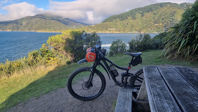
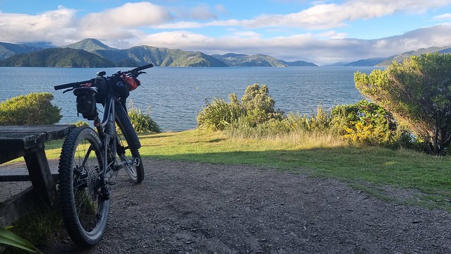
Picton, but not finished yet...
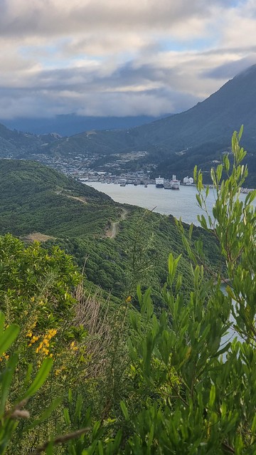
Was soon back in Picton, but had time for one last ride...
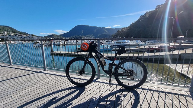
Took the Picton-Waikawa Walk/Mountain Bike Track out to Waikawa Point which is about an 11km loop.
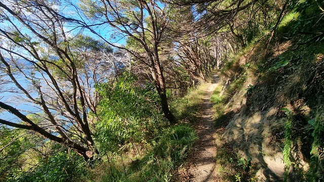
Didn't think it would be this hilly! Actually, not bad unless you've already ridden Port Underwood Road to get here!
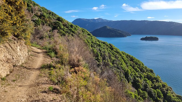
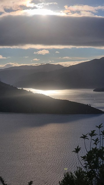
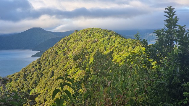
Waikawa Point, Picton
It was about five-thirty when I got to Waikawa Point. The sun, getting low in the sky, was starting to turn the world golden. You can still see the Port Underwood Rd cloud in the background of the photo below.
Love the sunlight highlighting green bush against that lingering cloud.
Last views of Picton, a fantastic way to finish the South Island rides. Next stop Wellington and my third attempt (previously thwarted by 'weather') to do some cycling there.