Inner Waitemata Harbour cycle loop


Although the GPS tracked 76km this is a 73km ride. I joined the North Western cycle path in Henderson and headed for the city.
Apart from crossing St Lukes road (near Western Springs) you can ride all the way to the ferry terminal without going on the road.
Jumped on the Devonport ferry and a chance to do 3km without turning a pedal. On arrival in Devonport head up the hill and follow Victoria Rd to the Ngataringa cycle path.
I joined the road for a bit, heading back onto the cycle path from Bayswater Rd (beside the cemetery).
Photo: Ferries at Devonport (with Auckland CBD in the background)
I gave Takapuna a miss and stopped at Milford Beach, below, which is nice even when the tide is low. There’s a new pedestrian/cycle bridge near the marina which makes continuing north less of a hassle, no need to double back around the inlet now.

The North Shore is a bit short of cycle paths (those which exist are not well connected) so it was back on the road heading for the west. If you choose the less travelled roads (like Sunset Rd rather than Constellation Drive) the traffic isn’t too bad. You re-join cycle path at Greenhithe to go over the Upper Harbour Bridge to Hobsonville. I remember riding over the original two lane bridge illegally, it had no cycle provision and was closed to bicycles…
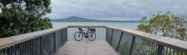
West Harbour (below) was my last decent view of the Waitemata Harbour, most of which I’d ridden around on this trip. I had missed a bit as didn’t venture north to Riverhead on this ride.

You can see from the time below this wasn’t a race! It surprises me how the elevation gain, 1346m, around Auckland stacks up as none of the hills seem that high.