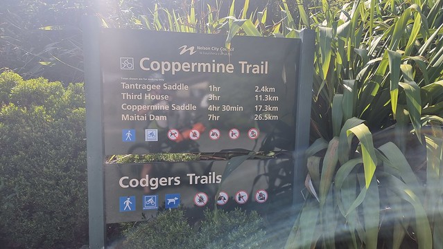
Coppermine Trail | Time Out 2021-22 Nelson
An amazing mountain trail, just out of town


Although just a few kilometres from Nelson's city centre the Coppermine Trail is a true adventure ride high in the hills. I had been putting it off, holding out for the right weather and my last 'ride day' in Nelson proved to be it!
Coppermine Trail
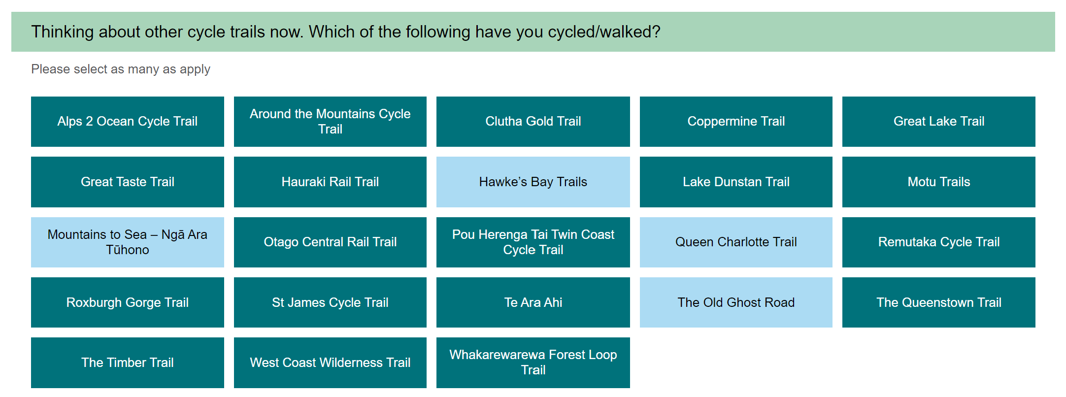
The day began with the, now familiar, run into town. At about ten on a workday, Thursday, the cafés on the bike path were busy.
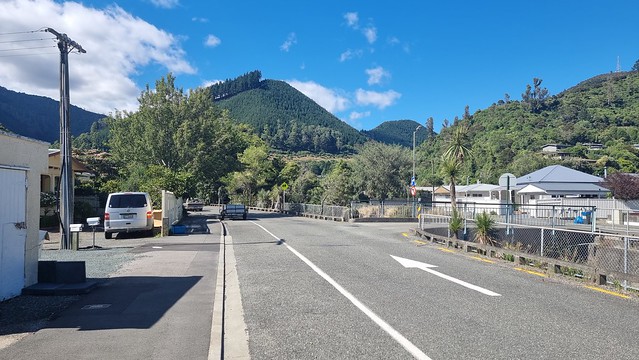
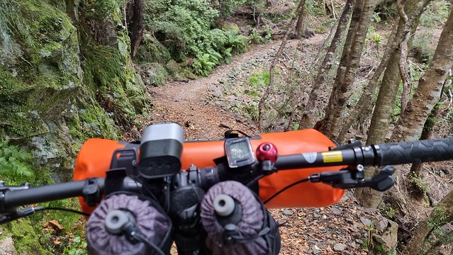
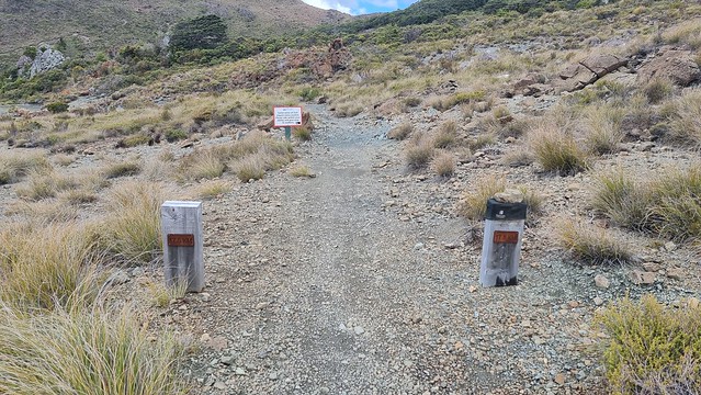
It's easy to find the start of the Coppermine, just follow the bike path up Brook Stream to the hills at the end of Brook Street.
The indicated times are for walking but with around a thousand metres to climb it wasn't going to be a rapid 17km.
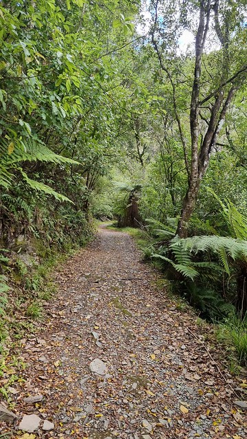
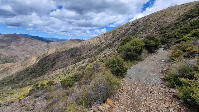
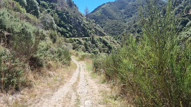
The lower parts are on open country in the 'Codger’s Trails' area with lots of shorter MTB tracks of all grades. The Coppermine climb is graded '3 Intermediate' but, I think, more due to the country it traverses than trail difficulty. Although close to town the exposed nature of the upper section, elevation and way NZ's weather can change mean you need to be prepared.
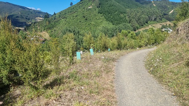
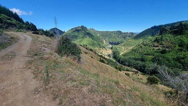
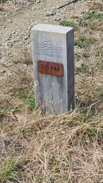
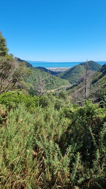
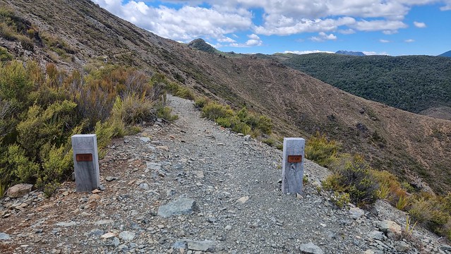
I liked these trail markers with distance. For those, like me, unfamiliar with the trail it gives a good guide of progress. The photo (right) shows how rapidly you climb, the houses below are the end of Brook St.
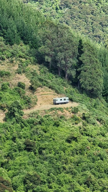
Amazing how remote life could be just a few kilometres from town. Often people live the RV life while building something more permanent, or is this just for summer?
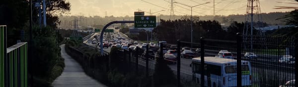
The bike needed a rest, so found it some shade. It wasn't hot yet, 17°C, but climbing in the still morning was warm.
Some Grade 5 descent if you don't want to go the whole way.
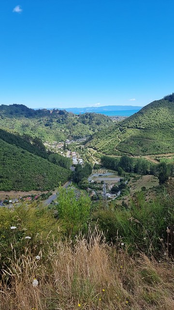
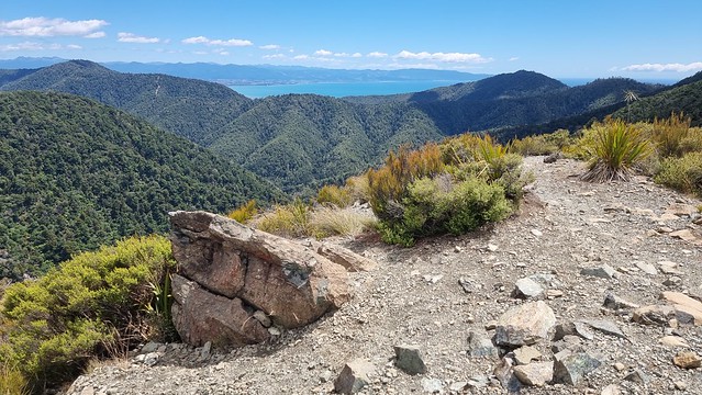
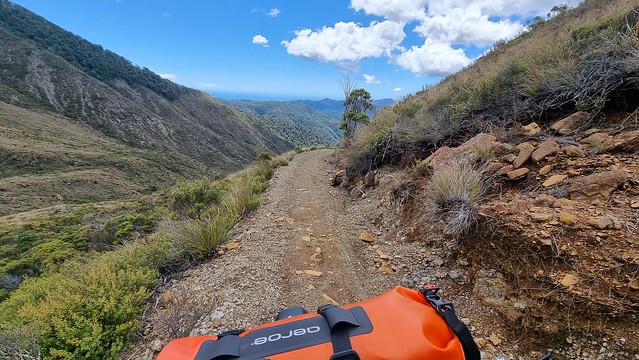
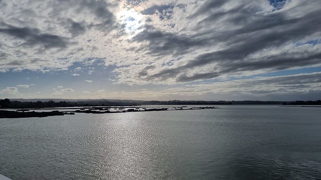
Glad I held off on this ride until today, stunning views across Tasman Bay: Nelson/Richmond, Rabbit Island, Mapua, Kaiteriteri, and Abel Tasman in the far distance.
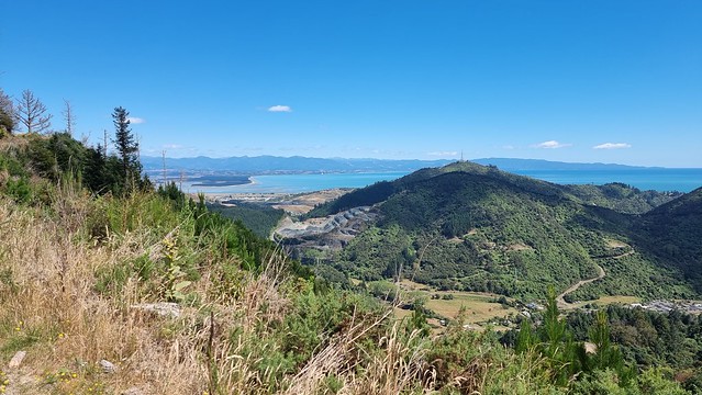
The trail overlooks the Brook Waimārama Sanctuary predator-proof fence.
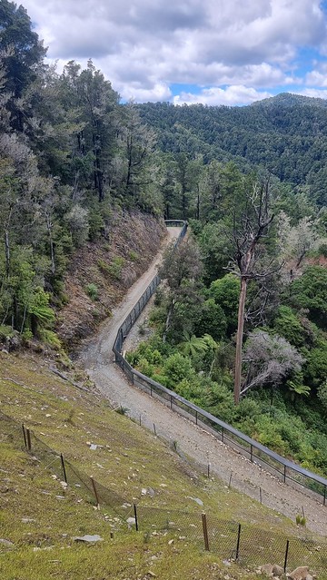
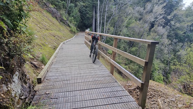
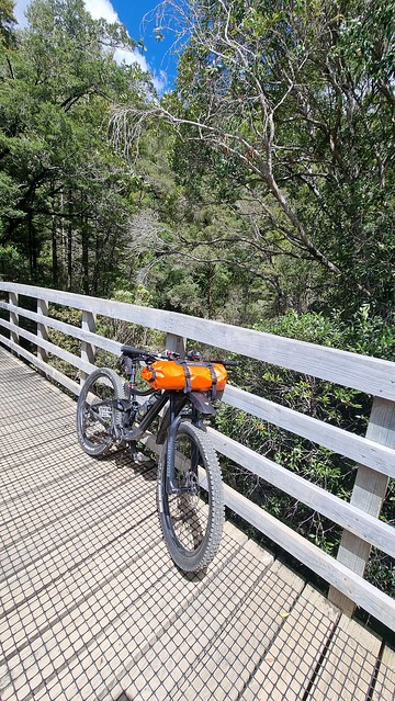
Trail condition and infrastructure is impressive.
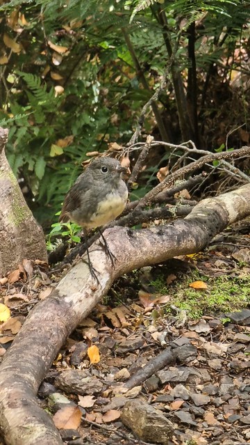
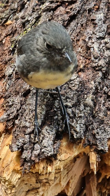
Robin meets a (South Island) Robin. They are so friendly the photo left was at my feet.
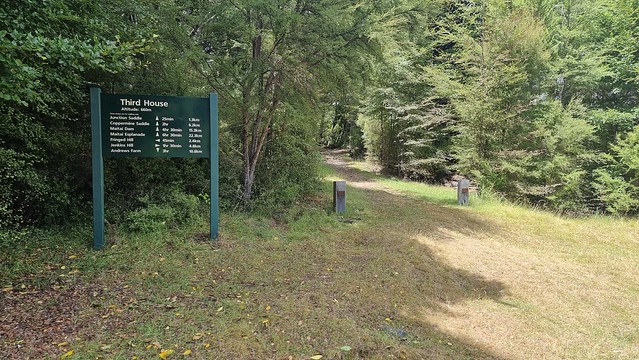
Third house (Elev. 660m) a nice rest spot for a drink in the shade.
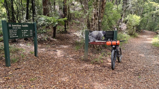
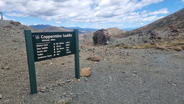
Junction Saddle (Elev. 682m) is where the old railway alignment joins the main ridge to climb to Coppermine Saddle.
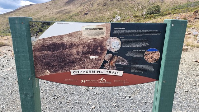
The trail up follows the path of the historic Dun Mountain Railway. It was New Zealand’s first railway, opened in 1862, to support copper & chromite mining and abandoned in 1866 when mining stopped. It opened as a 'New Zealand Great Ride' trail in 2011.
This dry creek crossing was the most challenging feature of the ride up, the ride down a different matter!
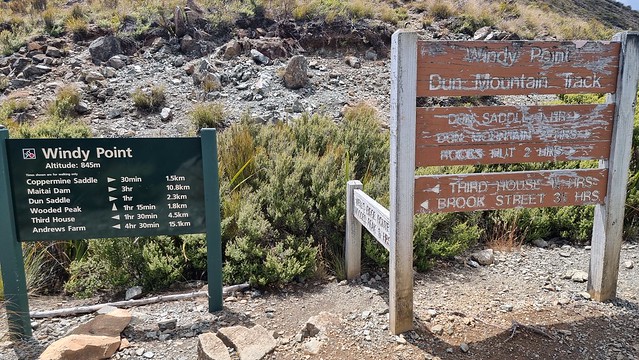
Stunning views from 'Windy Point' (Elev. 845m). Barely a breeze today but the stunted vegetation and weathering on the old sign give an indication of what could be.
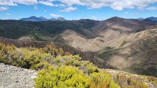
Looking inland from Windy Point.
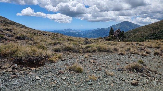
Last push to the Coppermine Saddle, 1.5km away.
Looking back towards Windy Point.
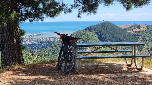
Signs along the trail document The Coppermine Story. A couple of cyclists arrived so we had a 'lunch stop' together at the picnic tables. One, a local, does this as a regular ride, but the other was visiting and riding a regular street style e-bike. She returned down the same trail as the continuation Dun Mountain descent is more extreme riding. Either way the ride up here is worth the effort.
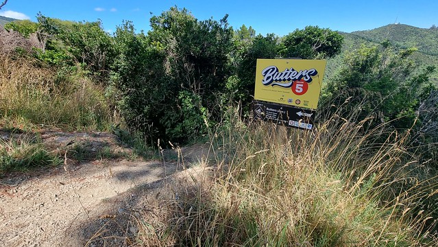
The Coppermine Saddle to Maitai Dam descent is rated 'Grade 4: Advanced" and in parts deserves all of that. Depending on conditions, especially if wet, I think that rating is conservative. The white sign advises what lies ahead differs from the trail you climbed.
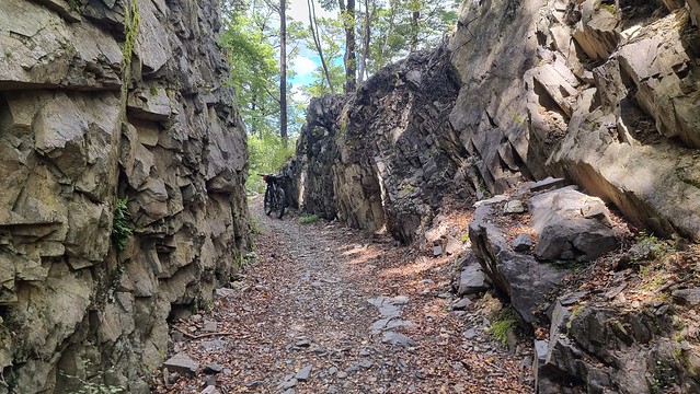
It's a wonderful 10km downhill, to give an idea the three hour thirty-minute saddle climb only took about forty minutes to descend! This shows the flowing Dun Mountain section, more technical rocky descents (some loose) in ‘Boulder Valley’ earn the '4' rating.
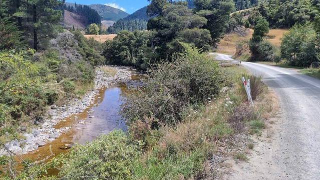
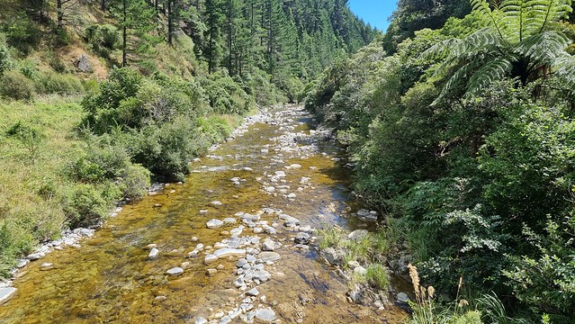
You re-join the bush, and some nice flowing trail, at Maitai River.
From there trails go past Matai Dam, Nelson's water supply, before heading back down the valley to town.
Maitai Valley Rd follows the river back to Nelson.
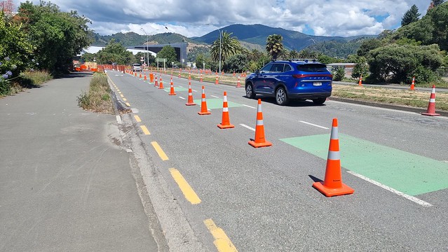
On the way back to the motel I was impressed to see they'd closed and converted a traffic lane to maintain the bike lane during roadworks. Never see that in Auckland!
Update 08/2022: In August 2022, a massive winter storm devastated many of the areas I rode in Tasman District. In Nelson, the Matai River flooded large areas of the central city, other rivers, streams and landslides many other areas.
Flooding, slips hit as 'river of rain' spreads over Tasman - Stuff
- A State of Emergency has been declared in Nelson Tasman
- 70 homes are being evacuated in the Maitai Valley north of the Nile St bridge towards the golf club
A welfare centre has been set up at Saxton Field - Heavy rain from an ‘atmospheric river’ has been falling in Nelson-Tasman and will continue until Thursday evening
- Some residents at Paines Ford in Golden Bay have been evacuated
- Nelson Tasman Civil Defence Emergency Management activated its Emergency Operations Centre at Richmond on Wednesday morning to monitor and manage the response to the event
- There are slips, road closures and surface flooding in Golden Bay, Richmond and SH6 from Rai Valley to Hira
- The MetService has issued orange warnings for Nelson and Tasman, and red warnings for Buller and Westland
One more time to Rabbit Island
I had a late, proper, lunch at the motel and decided on one more ride, one more swim at Rabbit Island. Took the, now familiar, trail there but straight-lined the trip home, with more road riding, as it was getting late, and I was a bit weary. With ~105km and ~1000m climbing it had been a quite a day.
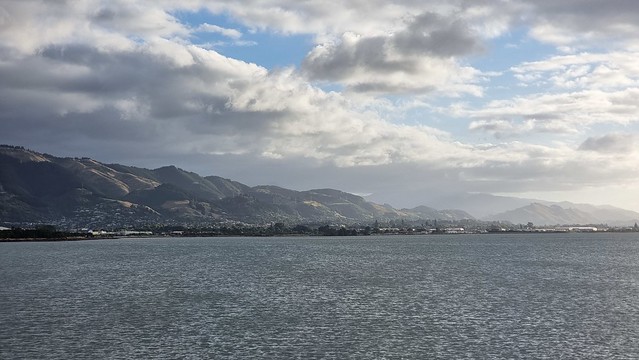
Some nice evening views on the last Nelson ride.
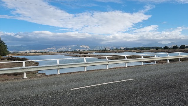
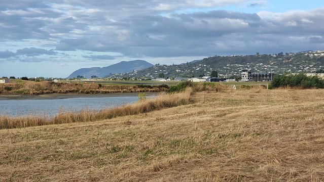
The trail passes inland of Nelson Airport, the coast path by the runway is only for walking.
It was after eight by the time I got back to the motel, then packed the bike in the car ready to drive to Golden Bay tomorrow. An awesome finish to my Nelson visit, and still plenty of trails to come back for another time.